Future GEOINT Applications
This topic is up to you, the students. Please do some thinking and a little research to identify and consider future applications of geospatial intelligence in the national security arena. You might post any interesting websites or resources in the Webliography Folder in the lesson area. Future applications of geospatial intelligence will be one of our major discussion questions in Graded Discussion Forum Two.
The Geospatial Intelligence Program faculty is considering how geospatial intelligence is currently supporting the counter-insurgency or COIN effort in Iraq and Afghanistan. The program director, Dr. Todd Bacastow, was recently invited down to Washington with an old Army friend he served with when he was a captain. His friend suggested that geospatial intelligence is an essential tool, but that there are opportunities to increase its role and improve its effectiveness in COIN operations. Todd's friend then suggested that the Penn State Geospatial Intelligence faculty and their students might give this some thought. Below is a picture of Todd and his old Army buddy. Can you identify Todd's friend?
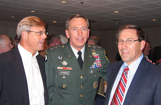
Figure 06.04: Anybody interested in starting a discussion on Improving Geospatial Intelligence Support for COIN Operations?
SOURCE: TSB.