| |
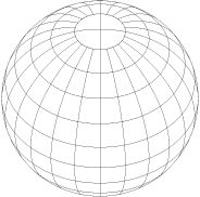
| Figure 1-1. The geographic coordinate system |
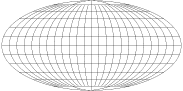 |
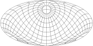
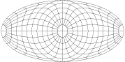
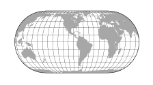
| Figure 1-2. The graticule on three Mollweide equal-area projections centered at (A) the equator, |
 |
| (B) 45 ° N latitude, |
 |
| and (C) a pole |
 |
| Figure 1-3. The earth turned on an Eckert IV equal-area projection as might be desired by (A) an American, |
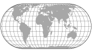 | (B) an African, |
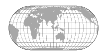 |
| and (C) a Asian |
|
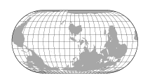
| Figure 1-4. The earth turned on an Eckert IV equal-area projection with south uppermost as might seem appropriate to an Australian mapmaker |
|
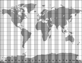
| Figure 1-5. The concept of standard time zones as displayed on a Gall Stereographic projection. The actual boundaries of the time zones are extremely irregular. |