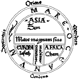
 | |
| Figure 6-1. The Isidore T-O map of 1472 |
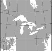 | |
| Figure 6-2. The Great Lakes with a North American inset. Lambert Azimuthal Equal-Area projections |
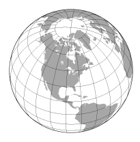 | |
| Figure 6-3. The Orthographic projection centered on the Great Lakes, 85° W, 45° N, as are Figures 6-4 through 6-7 |
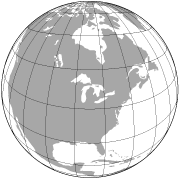 | |
| Figure 6-4. A Vertical Perspective projection from a height of 2,000 km |
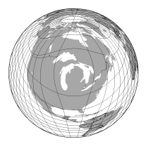 | |
| Figure 6-5. A Logarithmic Azimuthal projection showing one hemisphere |
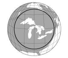 | |
| Figure 6-6. A "Magnifying-Glass" Azimuthal Equal-Area projection, with an inner circle 7° in radius, and outer circle 20° in radius, and an outer area scale 1/6 the area scale of the central portion |
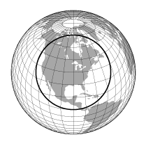 | |
| Figure 6-7. A Tapered "Magnifying-Glass" Equal-Area projection, with an inner circle 30° in radius, and outer circle 120°; the radius of the inner circle is 0.65 that of the outer circle |